What is El Niño — and why is it now a “wrecking ball” for communities in crisis?
Oct 22, 2026
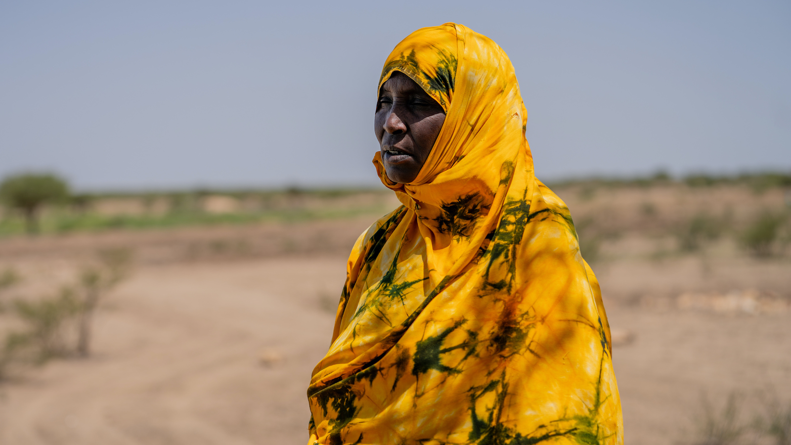
The UN has described this year’s El Niño as a “wrecking ball.” Here’s what you need to know about this extreme weather pattern that’s threatening millions with hunger, drought, and floods.
Every few years, part of the eastern Pacific Ocean gets unusually warm. But while it’s a relatively small stretch of water, the heat carries international ramifications. It has the capacity to rewire the Earth’s atmosphere, scrambling global weather patterns, triggering devastating droughts in some parts of the world, and catastrophic flooding in others.
The 2026 El Niño, which started at the beginning of June, has been especially devastating for millions of people across Latin America, Eastern and Southern Africa, Asia, and the Pacific. Earlier this month, UN Emergency Relief Coordinator Tom Fletcher called it a “behemoth” and “a wrecking ball.”
But what exactly is El Niño? How does a temperature shift in the Pacific Ocean have the power to upend millions of lives, and why is this year hitting vulnerable communities so hard? Here is how El Niño and La Niña work — and why it matters.
What is El Niño?
El Niño is a climate pattern caused by an abnormal warming of water temperatures in the Pacific Ocean near the equator, which essentially rewires global weather for up to a year.
To understand how this happens, picture the ocean’s trade winds as a giant atmospheric treadmill: Normally, these winds blow east to west, pushing warm surface water away from the tropics towards the cooler areas of the ocean.
During an El Niño year, that treadmill breaks down. The trade winds weaken, and sometimes reverse entirely. Without that breeze pushing things west, all that warm water sloshes back east towards South America, heating the ocean’s surface lby 1 to 3º Fahrenheit for months, or even years.
That temperature bump may not sound like much, but oceans are massive and that extra heat releases a large amount of energy into the atmosphere, which affects weather patterns around the world.

What is La Niña?
La Niña is El Niño’s cold counterpart: a climate pattern caused by unusually cool ocean temperatures in the equatorial Pacific.
If El Niño happens when the atmospheric treadmill breaks down, La Niña is what happens when someone cranks that treadmill up to a sprint. During a La Niña year, those east-west winds go into overdrive and shove massive amounts of warm surface water further west.
This acts like a vacuum, pulling freezing, deep-ocean water up to the surface off the coast, and delivering a hyperactive version of Earth’s “normal” weather patterns. La Niña often arrives like a harsh climate hangover immediately following an El Niño event, though they don’t always happen back-to-back.
What are the effects of El Niño and La Niña?
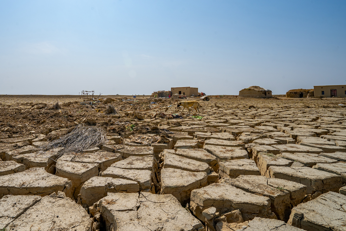
El Niño and La Niña don’t just change ocean temperatures, they also physically move the jet stream. This changes where, when, and how hard precipitation falls around the world, and in especially harsh years it leaves local climates around the equator facing dangerous extremes of drought or flooding.
It’s tempting to simplify things by saying El Niño means drought and La Niña means rain, but the Earth’s weather system is more like an interconnected seesaw than a football field. During El Niño, the eastward shift of warm ocean water drags heavy rain clouds along with it. That can lead to droughts in Southern Africa and Southeast Asia, while also opening the floodgates over parts of East Africa and western South America.
La Niña drops that seesaw in the other direction: Places that were parched by El Niño just a few months earlier might suddenly face torrential downpours, while previously flooded regions are plunged into dry spells.
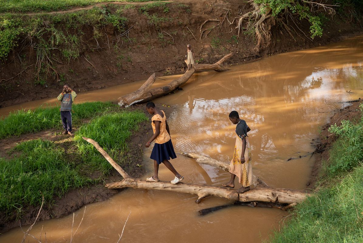
For vulnerable communities and families who rely on the land for their livelihoods, the real threat is the sheer volatility of swinging from one extreme to the other, making it nearly impossible to grow food, herd cattle, or stay safe.
What’s happening in 2026?
We entered 2026 under the influence of La Niña, but in May, global climate patterns rapidly reversed: The World Meteorological Organization (WMO) detected intense ocean warming, and warned of a “nearly global dominance of above-normal land surface temperatures.” By the beginning of June, El Niño was officially underway.
Since then, the phenomenon has only gained momentum, and is estimated to be the strongest El Niño on record. In September, the WMO announced a “nearly 100% likelihood” that these conditions will stretch into February 2027, with conditions becoming their worst towards the end of the year.
Why does this matter for a humanitarian organization?
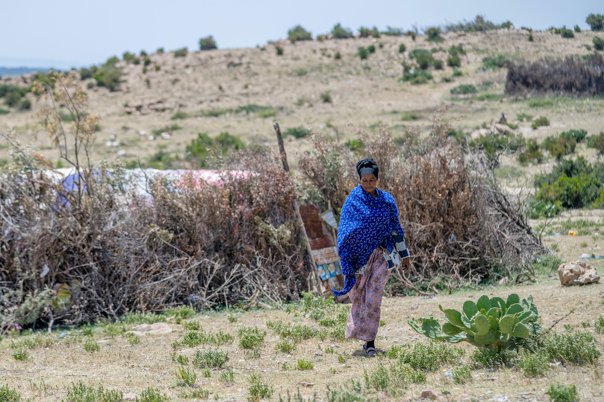
El Niño zeroes in on the Earth’s equator, acting as a threat multiplier for some of the poorest countries and regions in the world — areas like Southeast Asia, the Caribbean, and Eastern Africa that are already vulnerable to natural disasters and dependent on agriculture.
The humanitarian math is stark: According to the UN, this single weather event could push up to 50 million people into increased hunger. The African Development Bank estimates it will cost African countries up to $20 billion, reducing their GDPs by 1 to 2%.
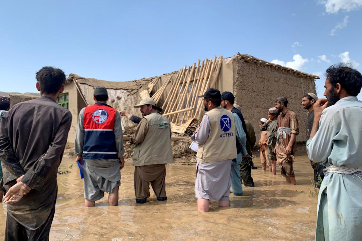
But the real crisis is that El Niño is slamming into communities that have zero safety net left. It will intersect with some of the largest humanitarian crises, as well as some of the most underfunded crises. These communities are facing soaring food, fuel, and fertilizer prices driven by conflict, displacement, and other climate events. Worse, these skyrocketing costs are coinciding with historic cuts to humanitarian aid budgets that have led to programs shutting down.
What comes next: Early warning, early action
Experience has taught us that the most effective emergency response happens long before the worst of the damage is done.
This is one thing we have on our side for this El Niño: Today’s technology to forecast the timing and severity of these events has developed rapidly. It’s what helped us during a rare “triple dip” La Niña that began in 2020 and lasted for three years before snapping into a harsh El Niño. This forecasting is one half of a system we call Early Warning, Early Action, or EWEA.
EWEA does exactly what it says on the tin, and it’s proven to work: Every $1 invested in anticipatory crisis response can save between $7 and $15 in humanitarian losses. Acting early protects community resources and family livelihoods, reducing the need for a more expensive emergency response down the line, when supplies can cost even more and humanitarians may not be able to reach those most affected.
For an event like the 2026 El Niño, where the climate risks are highly predictable, these preemptive measures are the difference between a difficult season and a generational catastrophe. The World Food Program estimates that the investments made in EWEA-related response to the 2023-24 El Niño drought led to a 30% net benefit over traditional, reactive response.
Concern’s response to the El Niño crisis
Concern works in many of the countries expected to bear the brunt of this El Niño — in some cases we’ve done so for decades. Our time in these regions has focused on building resilience through protracted crises and helping communities prepare for predictable shocks like this year’s El Niño.
Because of this presence and our dual-focus on emergency response and community-led solutions, we don’t have to reinvent our infrastructure to respond. Our teams have the experience and trust to help communities weather this crisis through a few core, long-term approaches:
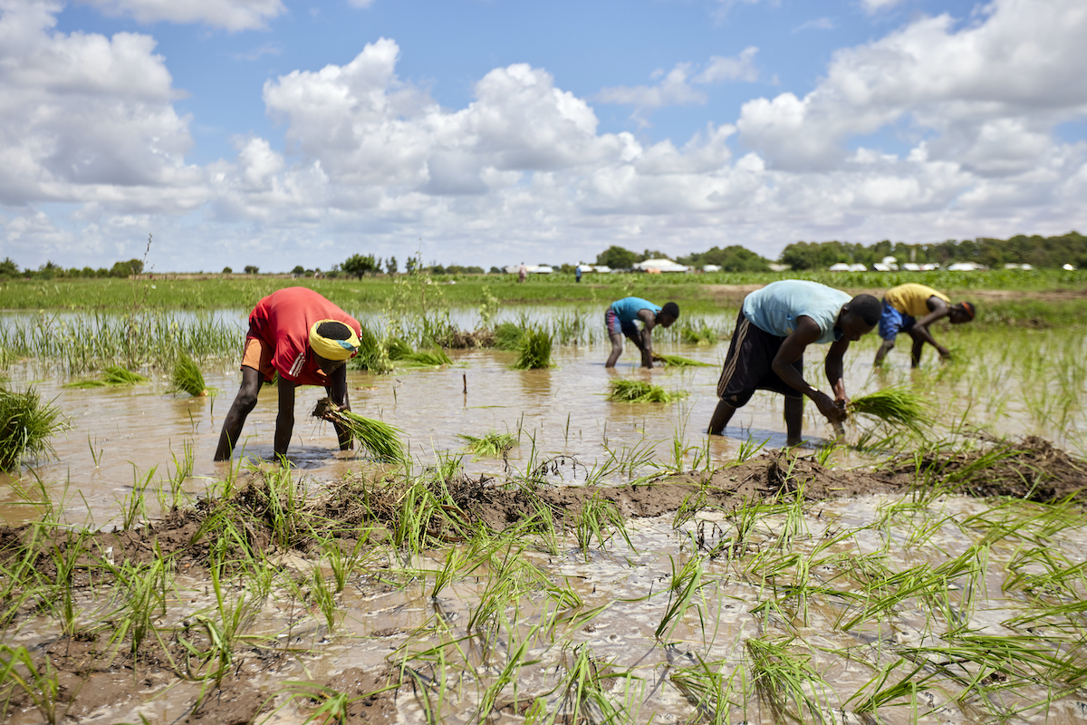
- Building agricultural resilience: We work with communities to scale methods like Climate Smart Agriculture and Disaster Risk Reduction. These approaches equip farmers to adapt to volatile weather and protect their harvests, while helping communities develop locally-led preparedness plans to keep their villages safe from floods and droughts.
- Treating malnutrition at the source: In 2000, Concern co-developed the program now known as Community Management of Acute Malnutrition (CMAM). By treating severe hunger directly in the community with trained healthcare volunteers and shelf-stable supplies like Plumpy’Nut, CMAM has become the World Health Organization’s gold standard for treating malnutrition.
- Ending hunger before it starts: Building on CMAM, we developed the Surge Approach in 2012. This program is designed to stop hunger crises before they start by using weather forecasts and health center data to predict seasonal “surges” in malnutrition and other common childhood illnesses. This early-warning model has been so effective in Somalia that the Ministry of Health incorporated the approach into its national nutrition guidelines and made Concern its principal partner to lead national rollout.
Concern has been in the Horn of Africa — one of the areas that will be hit hardest by this year’s El Niño — for over 50 years. We were there for the brutal 2015-16 “Super” El Niño, and much of our work in the region has been focused on responding to the see-saw between historic droughts and catastrophic flooding.
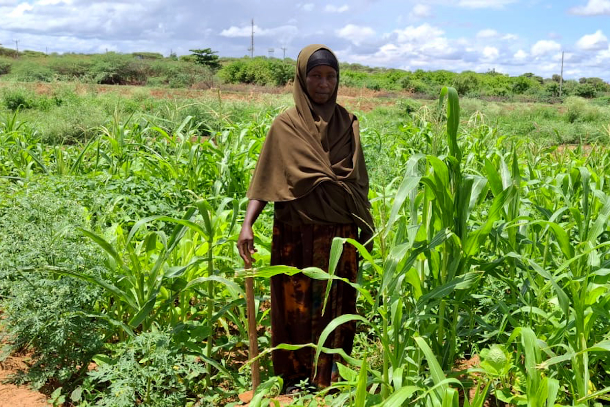
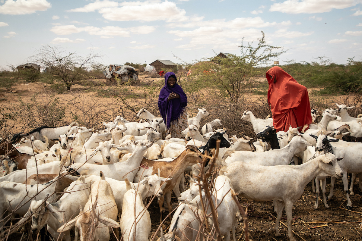
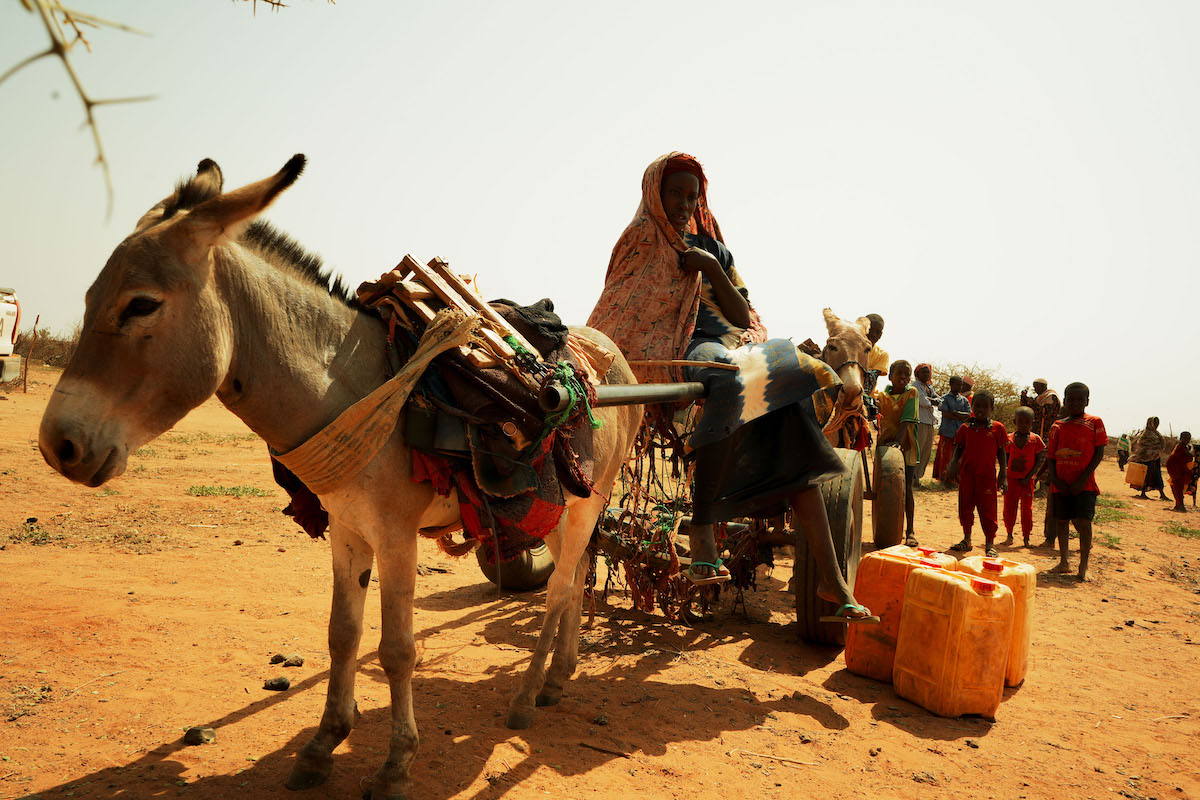
In the Mandera Triangle, a region where Ethiopia, Kenya, and Somalia meet, we have reached 300,000 people across 105 communities in just three years with our Hanaano program. By combining nutrition, livelihoods, natural resource management, clean water access, and other key areas of response into a single safety net, Hanaano has helped families survive repeated climate shocks. It is exactly the kind of anticipatory approach that helps an incredibly vulnerable part of the world reduce its losses, secure its food supply, and survive on the frontlines of the climate crisis.